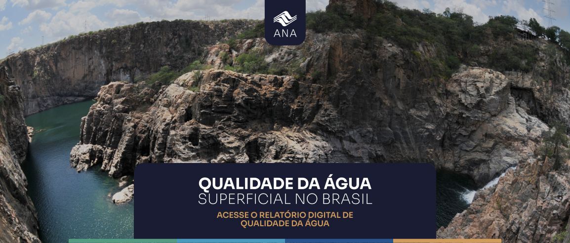
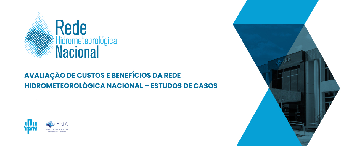
the evolution of Water resources management in brazil  
  

Water Resources in the Brazilian Hydrographic Regions

Water availability and use

For the purpose of water resources management and following the spirit of the Water Law, Brazil has been divided into hydrographic regions. A hydrographic region is a catchment or group of contiguous catchments in which the principal river flows to the sea or into another country. There are twelve Brazilian hydrographic regions (Figure 4), namely:


1) Amazon;
2) Tocantins;
3) Parnaíba;
4) São Francisco;
5) Paraná;
6) Paraguay;
7) Uruguay;
8) Coastal region of the North;
9) Coastal region of the Western Northeast;
10) Coastal region of the Eastern Northeast;
11) Coastal region of the Southeast, and
12) Coastal region of the South.

The annual mean discharge of Brazilian rivers is around 182,600 m3/sec. Taking into account the rivers that rise in the Amazon region and discharge in neighboring countries, estimated at 89,000 m3/sec, total water availability reaches the order of 272,000 m3/sec.

Figure 4
Brazilian Hydrographic Regions - Area, Population and Mean Discharge Percentages in relation
to Country Totals.


Table 1 presents data on water availability and demand in the hydrographic regions. Over 70% of surface water resources are in the Amazon region, with 47% of the country’s land area. Water balance data show Brazil’s great diversity, in hydrological terms. Discharges vary from about 34 l/s/km2, in the Amazon Region and Coastal Region of the North, to 4 l/s/km2 in the Coastal Region of the Eastern Northeast, and São Francisco and Paraguay regions.


Similar to other countries, agriculture uses most of the water produced, especially irrigation, at almost 63% of the total, as indicated in Figure 5. Domestic use follows (urban and rural, 18%), then industry (14%) and finally livestock (5%).

Figure 5
Percentage Distribution of Water Demands in Brazil


Among large Brazilian rivers, only the Amazon and the Paraguay are predominantly plains rivers and widely used for navigation. The São Francisco and the Paraná are the main plateau rivers. Before analyzing the summary of water availabilities and demands, the observations in Table No.2 should be noted. There is, unfortunately, no database available divided along the lines of the water resources management units, the catchments. Therefore several of the maps shown in the following figures use different divisions: states, power generation basins and others. The consistency of results consequently suffered. Even so, the decision was taken to publish these results as a first approximation. For the next edition, the National Water Agency is in contact with the Brazilian Geographical and Statistics Institute (IBGE) to seek an agreement to work with its new territorial division.

Figure 6 shows per capita water availability by hydrographic region: (average discharge divided by total population) using data from the 2000 census, which arrived at almost 34,000 m3/inhab/year for Brazil. As can be seen, this indicator varies considerably.
The most critical situation is observed in the Coastal Region of the Eastern Northeastern, in the catchments of: the Capibaribe River, Pernambuco, at 428m3/inhab/year; the Inhambupe River in Bahia and Sergipe, at 479 m3/inhab/year; and the Vaza Barris River, in Bahia, at 610m3/inhab/year. On more aggregate levels, in the same region, numbers such as 740 m3/inhab/year are observed for Pernambuco/East; 886 m3/inhab/year for Paraiba/East; 1024 m3/inhab/year for the Potiguar/East region in Rio Grande do Norte; and 1,165m3/inhab/year in the Rio de Contas catchment in Bahia. Low availability, associated, however with a high concentration of population, and this situation is also found in the Tietê catchment, in the state of São Paulo, at 810 m3/inhab/year, part of the Paraná hydrographic region, in the Southeast of Brazil.

In contrast, in the Amazon hydrographic region, in the north of Brazil, the highest per capita availability rates in the country are found – 558,000 m3/inhab/year, and in the Coastal Region of the North (Oiapoque, Amapari and Calçoene Rivers), the number is 1.7 million m3/inhab/year.

Methodological Considerations

The main source of information regarding water resources availability and demand was the 1998 study “National Water Resources Plan”, prepared by the Getulio Vargas Foundation (FGV), for the Water Resources Secretariat of the Ministry of the Environment, which accepted the hydrographic division used by the Brazilian Electric Power Agency (ANEEL), with a few small changes, especially in the São Francisco and Paraná regions.


On the other hand, the hydrographic division of Brazil was based on the recent classification made by the IBGE with ten regions. This classification is more detailed than the one in the FGV study of the coastal region of the country, while the opposite occurs in the other regions.


The hydrographic subregions used by FGV were thus employed, following IBGE classifications, to maintain the characteristics of the Tocantins, São Francisco, Paraná, Uruguay and Southern Coastal Regions. For this reason, in the figures containing information by hydrographic region, the spatial variation of the indicator can be seen, within the IBGE region, by means of the change in color (For instance, figure 6, in the Paraná basin).


These procedures required adjustments and simplifications in some areas and are being improved.


Figure 6
Mean Discharge per Inhabitant in the Brazilian Hydrographic Regions in the year 2000
BRAZIL 33.900 M3/INHAB/YEAR


Figure 7 shows population density per hydrographic region, expressed in terms of inhab/km2. The average demographic density in the country, approximately 20 inhab/km2, ranging from 1.9 inhab/km2 in the Amazon region and 0.6 inhab/km2 in the Coastal Region of the North; to 126 inhab/km2 in the Coastal Region of the Southeast; or 385 inhab/km2 in the Tietê catchment, part of the Paraná Region; and 773 inhab/km2 in the Macaé catchment, in the Coastal Region of the Southeast.


The problem of lack of water for human use occurs in the Brazilian hydrographic regions with high population densities and average to low discharges.


The greatest availability of water for human uses found in areas with high discharges and with low population density. This is particularly true of the Amazon Region and Coastal Region of the North, and northwest sector of the Tocantins Region, as shown in Figure 8, with an average discharge in L/s.km2. These are regions with few water use conflicts, with some cases of pollution close to the urban centers of these regions. In the case of the Amazon hydrographic region, besides its high natural availability, water inflow brought by rivers draining areas of neighboring countries within the Amazon Region is also important.

Figure 7
Demographic Density in the Hydrographic Regions of Brazil
BRAZIL 20 hab/KM2


Figure 8
Mean Discharge in the Brazilian Hydrographic Regions
BRAZIL 21 L/s.km2


There are regions in Brazil where, despite the high natural availability of water, their intense and disorganized settlement has generated problems of water disputes, mainly due to scarcity of water of the required quality. The South and Southeast Coastal hydrographic regions fit into this category.

At the other extreme, there are regions with little natural water availability, such as the coastal hydrographic regions of the Eastern Northeast, the Parnaíba, the São Francisco and the Paraguay. In those regions there is usually an association between low rainfall and high evaporation levels.

This picture of low natural availability of water, associated with higher population densities, leads to conflicts over water use, as in the hydrographic coastal regions of the Eastern Northeast, and in part of the Parnaíba and São Francisco hydrographic regions. In these regions, the lack of regular rainfall, not only throughout the year but also in multi-annual periods, further worsens the dispute over water and the regions’ social problems. It is, however, in the semi-arid areas of these regions that drought hits hardest and water means survival.

In the regions with naturally low discharge, but also sparsely occupied, such as the plains of the Paraguay hydrographic region (Pantanal), there are few recorded cases of water use conflicts. In the case of this region, due to its low declivity, low availability is compensated by the accumulation of water in the watercourses and lakes draining from the headwaters of the rivers in the Pantanal. The range of landscapes and wealth of local fauna and flora, make this a region of great ecological interest for the country.

In other hydrographic regions of the country, such as the Paraná and Uruguay catchments, the upper courses of the Tocantins and São Francisco rivers, as well as in part of the coastal hydrographic regions of the Southeast and South, water use conflicts are essentially about pollution, limiting possible options for its use, or arise because of the excessive use of water for irrigation.

In Figure 8 there may be some inconsistencies in the data presented, such as the variations in discharges in regions such as the Tocantins, the São Francisco and the Amazon (at the border between the states of Amazonas and Pará).

In Brazil, the volume of subterranean water has been estimated at 112,000 km3. Estimates indicate that there are approximately 300,000 wells being used, and over 10,000 more are bored every year. Cities such as: Ribeirão Preto (SP), Mossoró and Natal (RN), Maceió (AL), the metropolitan region of Recife (PE), and Barreiras (BA) depend wholly or partly on subterranean water for their supply. In Maranhão more than 70% of the towns are supplied by underground water. In Piauí this is over 80%.


Credits
Contents
Preface
The Evolution of Water Resources Management in Brazil
Overview of the Hydrographic Regions of Brazil
General Aspects
Water availability and use
Socioeconomic Aspects
Water supply and sanitation indicators
Multiple Uses of Water
Conclusions

Bibliography